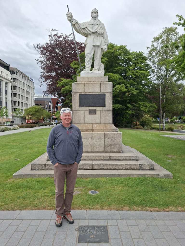
Day 1: The city and its situation. As a newbie to NZ, a tour of Christchurch (Ōtautahi) and surrounding locale was a great way to start. Located in the Canterbury region, it is New Zealand’s second largest city. The city is adjacent to the Banks Peninsula volcanic complex which suggests that the region is tectonically active. 2010 and 2011 were defining years for the region which was subject to major earthquakes (7.1 and 6.3 respectively).
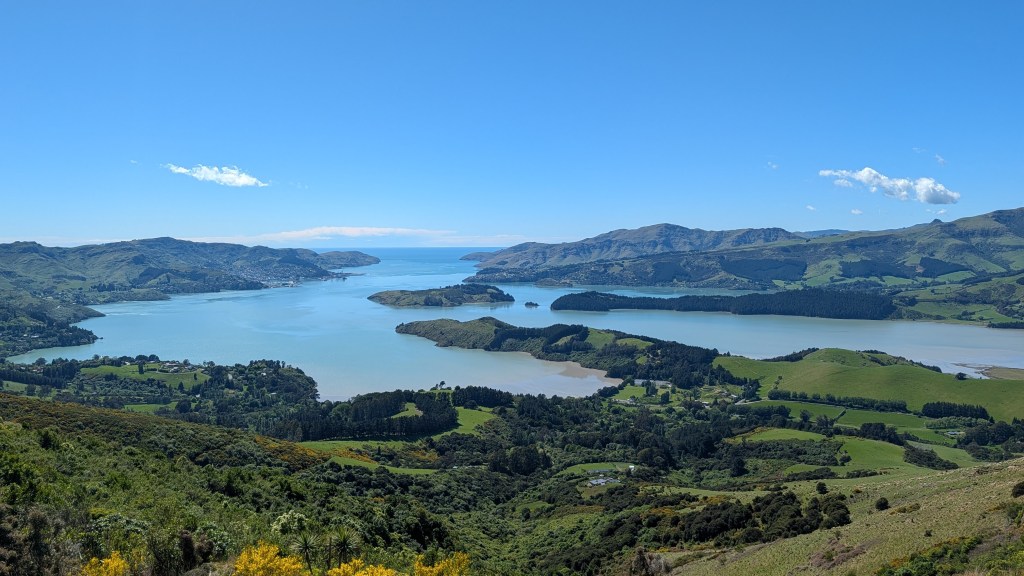
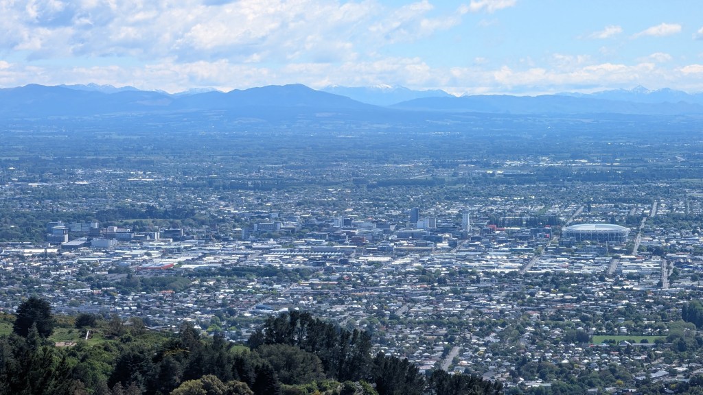
A drive around the extinct Banks volcano complex provided great views of the caldera and also over to the city. More info about the city can be found here (Wikipedia and from the City Council).
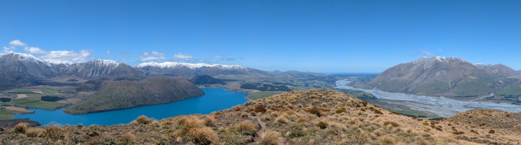
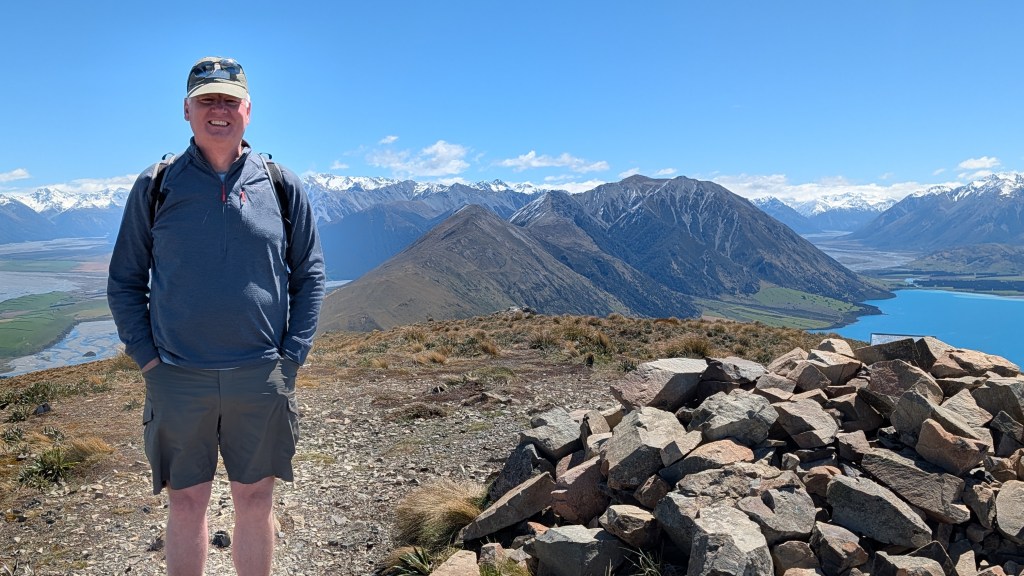
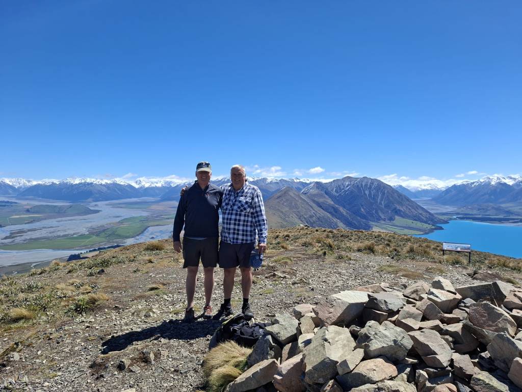
Day 2. To the alps. 90 minutes from the city is some spectacular tramping countryside. My guide took me to Peak Hill which is nestled in behind the foothills and between Lake Coleridge and the Rakaia River. Views were magnificent with a 360 degree sweeping vista of the foothills and Canterbury Plains and the Southern Alps. Imagine: two hydrology/geomeorphology/cryospheric science/ecosystem science ‘specialists’ chatting about the landscape – what could be better than that!
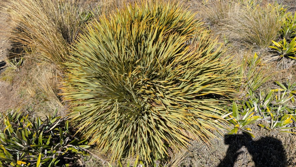
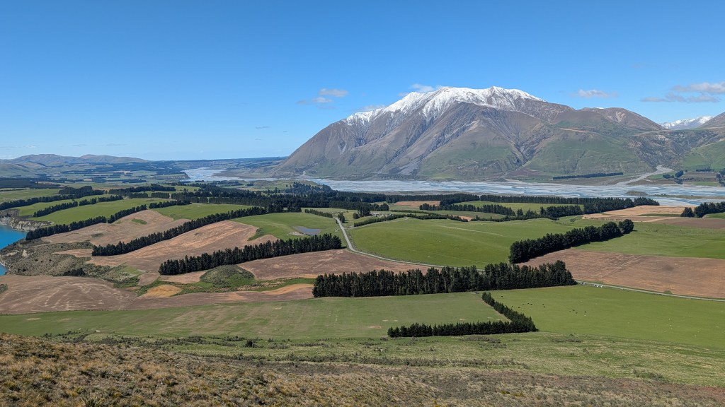
Along the way, Tim, my expert guide, and New Zealand near-royalty, who I have known for more than 35 years, provided outstanding explanations of large and small landscape features such as speargrass (Aciphylla colensoi, or taramea), also know as ‘the subalpine spaniard’ and the shelterbelts. The former is a prickly shrub found in many parts and the latter is a New Zealand landscape feature (typically managed tree rows) to baffle the wind from framing activities.
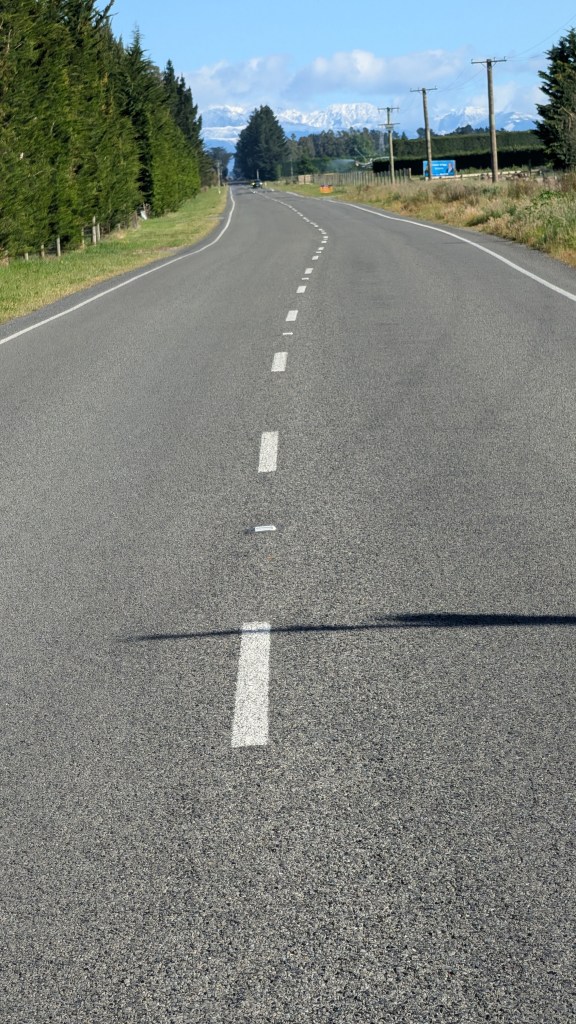
En route to Peak Hill, we stopped to observe the evidence of the 2010/2011 earthquake at Charing Cross. The road intersected the fault line that cause the earthquake and now has a kink in the road as a result of the lateral ground movement along the fault line – this is not a surveyor’s error.
After lunch we set off towards Arthur’s Pass via Lake Lyndon. Apparently Wolfgang, our Antarctic Team leader, caught a trout there but know one we know can provide independent evidence. From there it was on to Arthur’s Pass (note the possessive apostrophe – one of only two in New Zealand placenames, the other being Hawke’s Bay). Most importantly, we passed by Mount Davie (Kaimatau) at 2280 m a.s.l. named after Tim’s great great grandfather.
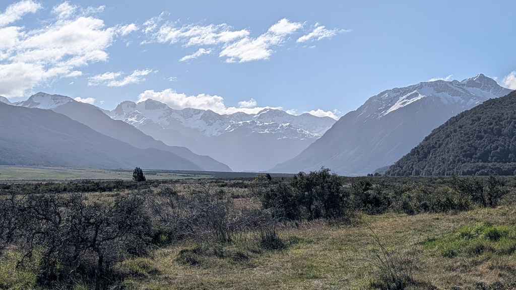
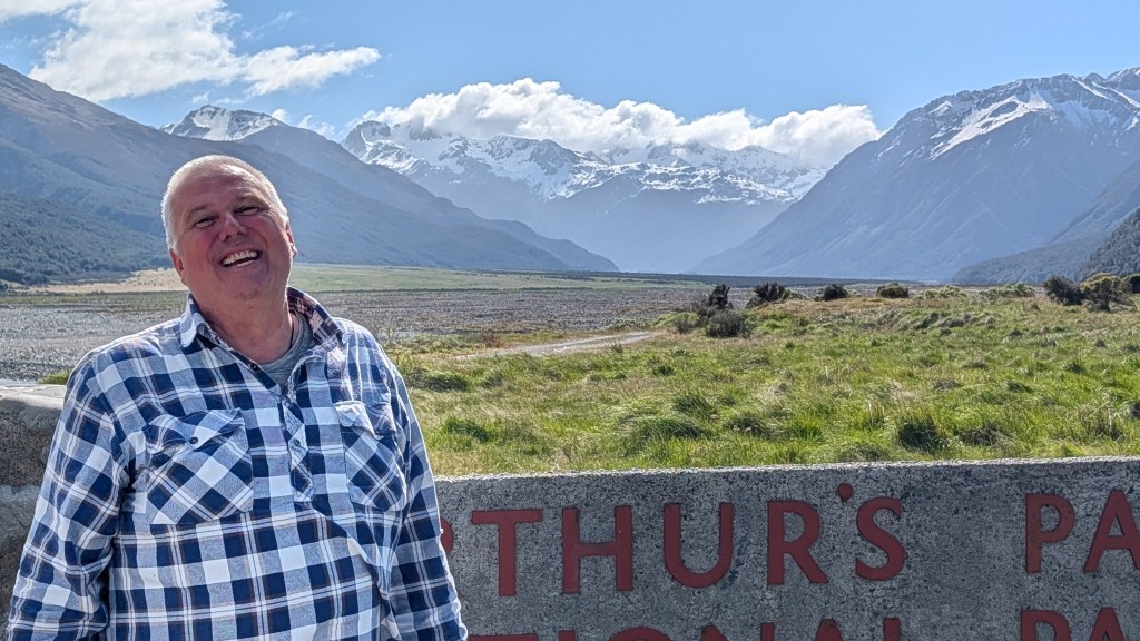
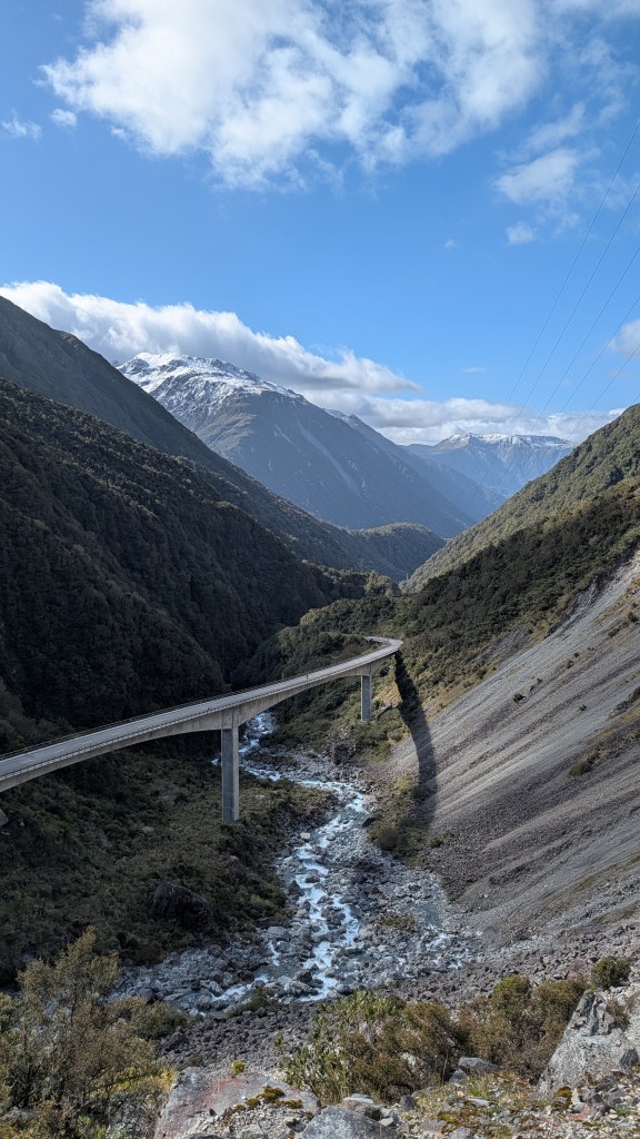
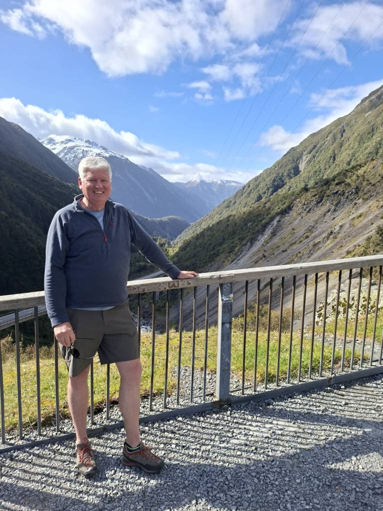
Then onto Arthur’s pass which is the divide between east and west-flowing continental watersheds. My generous guide pointed to Kelly Range, so that I was not left out. Of course he noted that the Kelly Range is lower in stature than Mount Davie, although I countered that there is more than one peak in a range. This I am sure will set up an ongoing tension that will no doubt need to be resolved somehow.


Leave a Reply