Current Team Members
Richard Kelly
Lead researcher: Cryosphere remote sensing
Zeinab Akhavan
Applications of SAR for snow mass estimation
Qinghuan Li
Passive microwave remote sensing of snow
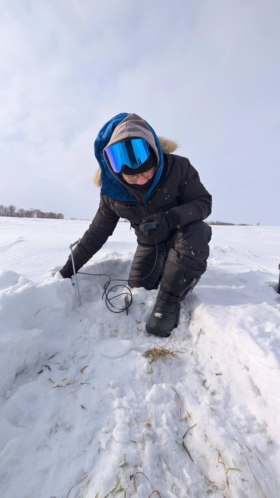
Stephanie Saal
Remote sensing of northern snow hydrology
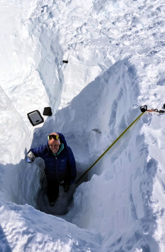
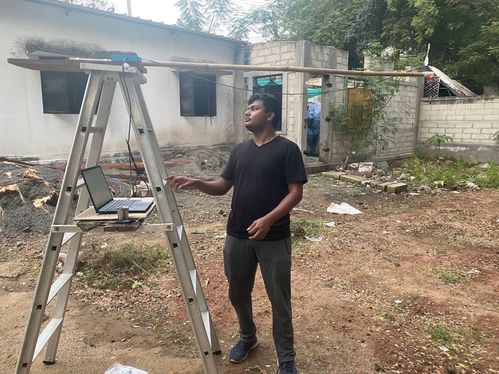
Akash Senthilkumaran
Remote sensing of evapotranspiration
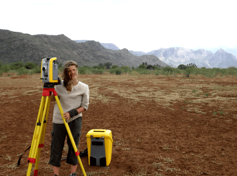
Vicky Vanthof
Remote sensing of semi-arid water bodies
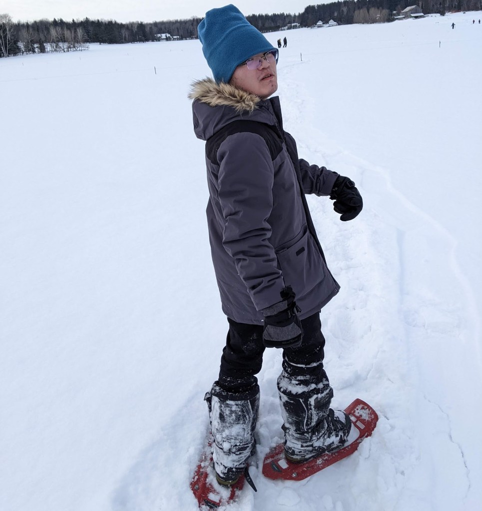
Wei Wang
Applications of SAR for snow mass estimation
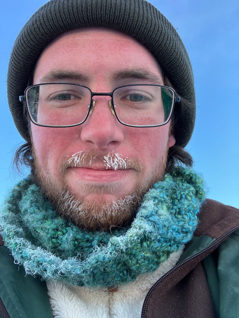
Jeff Welch
Active-passive remote sensing of the cryosphere
Previous Members / Graduate Degrees
Lina Zschenderlein (Ph.D.) 2022 – 2026 Passive Microwave Remote Sensing of Terrestrial Snow: Preparing for the Copernicus Imaging Microwave Radiometer.
Neda Rojhani (Research Associate) 2024 – 2025. SAR processing specialist.
Margot Flemming (Ph.D.) 2020 – 2025 Super resolution of remote sensing of snow mass using downscaling methods.
Akash Senthilkumaran (MSc) 2021-2024 An Evaluation of the Impact of Seasonal Land Cover Change on Evapotranspiration Estimates at the Catchment Scale in the Upper Gundar River Basin, Tamil Nadu, India
Jeff Welch (MSc) 2021-2023 Monitoring Seasonal Snow Density with Satellite Based Passive Microwave Remote Sensing and Automatic Weather Stations
Alex Cao (MSc) 2021-2023 Exploring Radarsat-2 SAR Cross-Polarization Ratio Capability for Tundra Snow Depth Estimation Using Numerical and Deep Learning Approach
Jiayi Du (MSc) 2021-2023 Snow Mapping from Passive Microwave Brightness Temperature with Machine learning Approaches
Tejasvi Hora (Ph.D.) 2020-2022 Addressing groundwater over-extraction in India: assessments, monitoring methods and interventions.
Wei Wang (MSc) 2019-2022 Snow Depth Retrieval from Wide Band Radar in Trail Valley Creek.
Xuejun Liu (MRP) 2019-2022 Analysis of Variability, Trend and Correlation of Snow and Tree Cover in Quebec, Canada, 2000 to 2020.
John Maclean (MES) 2018-2022 Time Series Analysis of Synthetic Aperture Radar Backscatter Responses for Sea Ice Within the Canadian Arctic Archipelago.
Aaron Thompson (Ph.D.) 2015-21 Developing Parameter Constraints for Radar-based SWE Retrievals.
Mieszko Fydrych (MSc) 2018-2021 Evaluating Multi-Temporal DInSAR Measurements of Ground Surface Deformation Around the Rhenish Coalfields in Germany Using Sentinel-1 SAR Imagery.
Julia Predusca (MSc) 2018-2021 Thesis title: Satellite remote sensing observations of snow cover extent during the melt-out season in the Thompson-Okanagan Region, British Columbia from 2003-2019.
Qinghuan Li (PDF) 2019-2020 Passive Miicrowave Remote Sensing of Winter time forest canopies using AMSR2 observations.
Margot Flemming (M.Sc.) 2017-2020 Downscaling Coarse Resolution Satellite Passive Microwave SWE Estimates.
Qinghuan Li (Ph.D.) 2015-2019 The influence of winter time boreal forest tree transmissivity on tree emission and passive microwave snow observations.
Nastaran Saberi (Ph.D.) 2013-2019 Snow Properties Retrieval Using Passive Microwave Observations
Paul Donchenko (MSc) 2016-2019 Evaluating Aerial Ku-Band Radar Altimetry over Landfast First-Year Sea Ice
Vicky Vanthof (MSc) 2016-2018. Monitoring Rainwater Harvesting Systems in India Using Satellite Remote Sensing Observations.
Hongjing Chen (MSc) 2016-2018 Wet Snow Mapping in Southern Ontario with Sentinel-1A Observations.
Jeffrey Chan (M.Sc. co-supervised with S. Evans, U. Waterloo) 2013-2015 Monitoring Ice-dammed Glacier Lake Outburst Floods in the Karakoram Using Visible-Infrared Satellite Remote Sensing Observations and Digital Elevation Model.
Aaron Thompson (M.Sc.) 2013-2015 Observations of Seasonal Snow in Agricultural Fields with a Radar Scatterometer at Ku- and X-band Frequencies
Qinghuan Li (M.Sc.) 2012-2015 Exploring the use of MODIS forest transmissivity for correcting passive microwave observation of northern hemisphere snow-covered terrain/landscape
Jessie Tang (M.Sc.) 2013-2015 Monitoring Soil Moisture and Freeze/Thaw State Using C-band Imaging Radar
Xiao Xu (Ph.D. co-supervised with P. Parker, U Waterloo) 2010-2014 Exploring the Use of Remote Sensing CO2 Data to Measure the CO2 Concentration Enhancements Caused by Coal-fired Power Plants
Mike Brady (M.Sc.) 2012-2014 Changes in Sea Ice Motion and Exchange in the Beaufort Sea: 1997-2012.
Munyaradze Sithole (M.E.S co-supervised with L. Swatuk) 2010-2014 The Place of VGI in GIS Science: A Critical Reflection and Case Study.
Andrew Kasurak (Ph.D.) 2010- Active and passive microwave remote sensing of snow.
Joshua King (Ph.D.) 2009-2014 Remote sensing of tundra snow with Ku- and X-band radar
Niina Luus (Ph.D.) 2009-2013 Improving estimates of net ecosystem CO2 exchange between the Arctic land surface and the atmosphere
Jason Oldham (MSc, 2009-2011) Mapping Snow Pack Depth in the Town of Uxbridge, Ontario Using an Airborne Laser Scanner
Anthony Mascioli (MES, 2010-2011) Masters Research Paper.
Jeffrey Meyer (MES 2008 – 2009 incomplete) Remote sensing of snow using microwave emission models
Alec Casey (MES 2008 – 2010) Dual-polarization (HH/HV) RADARSAT-2 ScanSAR observations of new, young and first-year sea ice
Niina Luus (MES 2007 – 2009) Modelling NPP in arctic terrain using remote sensing data
Ryan Ahola (M.Sc.) 2011-13 Parameterization & Implementation of a Soil Radar Backscatter Model with Applicability to Radar Observations of a sub-Arctic Environment
Andrew Kasurak (MES 2007 – 2009) Geostatistical modelling of snow in the Yukon
Zenhao Bao (PDF 2008-2010) Snow climatology in Canada.
Michael Neilly (MES 2007 – 2011) Multiscale modelling of snow depth over an agricultural field in a small catchment in southern Ontario, Canada
Holly Waite (MES 2006 – 2009) Remote sensing of land cover change in the Niagara Escarpment
Kanya Taruvinga (MES 2006 – 2008) Remote sensing of gulley erosion in the Blood River catchment, South Africa

