
All of our research surveys to date have been in the northern hemisphere. Now it is time to go south!
We have taken our airborne imaging radar system (called the CryoSAR, or Frank) to conduct research surveys in several places in Canada. So far we have focused on sites in Ontario, Alberta and BC, the Arctic (NWT, YT and NU). Now we are attempting the trip south – to Antarctica to be precise. During the research we will be flying over several target sites including sea ice, ice shelves, the ice sheet, dry valleys and perhaps one surprise site.
The project is organized by colleagues at the University of Canterbury (project leads) and Antarctica New Zealand (logistics leads) New Zealand. Crucial contributions come from my colleagues at the Alfred Wegener Institute in Germany, with whom we also fly with for the Arctic surveys. A big thanks to them for opening up this possibility which has enabled us to bring in colleagues at York University and the Canadian Space Agency in Canada.
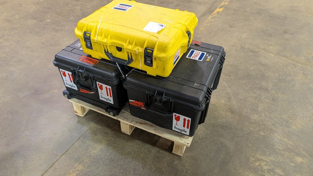
This is the first time I will have been to the great white continent in the south so it is a very exciting prospect. This is the first of what I hope will be a few blog posts along the way. The research survey planning it is the culmination of several months of preparation that have crescendoed in the last 6 weeks. The package of bags above is coming with me, and our radar system (see below), has now arrived in Christchurch. So far so good!! Now to board my flight to Sydney and then onto Christchurch.
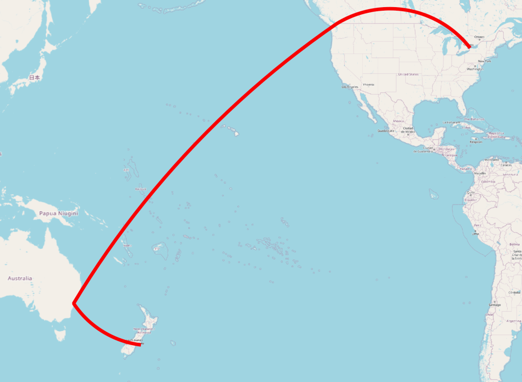
And here is our travel path.


Leave a Reply